Why Cycle Tourism?
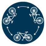 MOVE FREELY
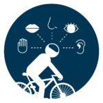 FUN FOR THE 5SENSE
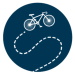 AVOID CROWDS
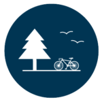
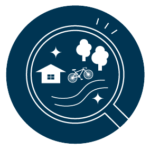 UNDERSTAND REGION
 ECO FRIENDLY
How to Plan a Cycling Trip.
Beginners |
Beg.~Intermediate |
Interm. & above |
|
① Select a level based on your fitness level. |
Those who do not usually play sports and are not confident in your physical strength. |
Those who must be physically fit enough to run lightly. |
Those who usually play sports and have physical fitness. |
② Determine the mileage (Recommended distance) |
10 – 20km
|
20 – 30km
|
30 – 70km
|
③ Decide on your destination |
Panorama Park / Izu no Heso / Gateway Kannami |
Shuzenji Temple / Numazu Port / La La La Sun Beach |
Manjo Fall / Yugeshima /Oratche |
④ Calculate the Cycling Time
|
Calculate at an average speed of 5km/h
|
Calculate at an average speed of 8~10km/h
|
Calculate at an average speed of 10~15km/h
|
⑤ Select type of Bike |
Cross Bike is recommended |
eBike is recommended |
|
Supplementary information.
1. As there are large differences in physical fitness in lower primary school children, set a course of no more than 5 km and increase the distance as you see fit.
2. The recommended distance varies according to the difference in altitude. The area towards Numazu and Mishima is relatively flat and therefore easy to run even over a distance, but the area towards Yugashima and the Nishi Izu Skyline has altitude differences, so care should be taken when deciding on the distance to be travelled.
3. It is easier to narrow down the route if you decide on the final destination as well as the rest points (convenience stores, cafés, restaurants, etc.) you will stop at along the way.
4. The average speed should be about half the actual driving speed. For an average adult, the actual running speed on flat roads is around 20-25 km. If you stop for a meal or at a café, add the stopover time to this.
5. The type of ride recommended depends on your fitness, destination and distance. If in doubt, use an eBike. Our eBikes are a well-balanced range of vehicles and, although there are some restrictions based on height and limb length, we have selected a range of vehicles that are easy to drive for a fairly wide range of people.
How to Decide the Route and Use the Navigation.
 |
 |